

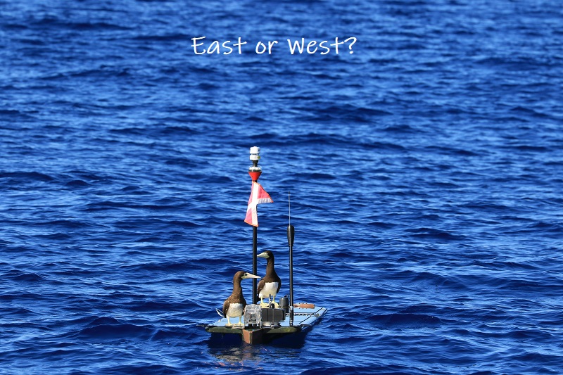
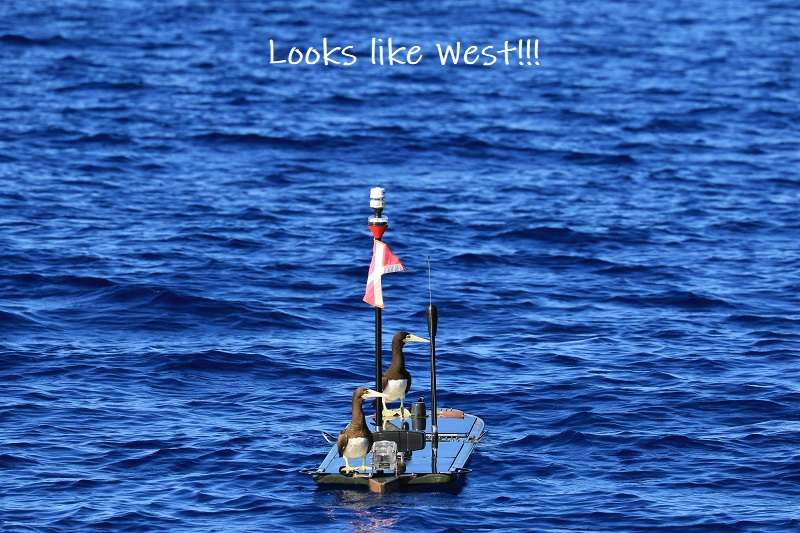
You may have noticed that Europa has been bouncing around a bit more than it did on HUMPACS East. Well don’t worry…it’s intentional!
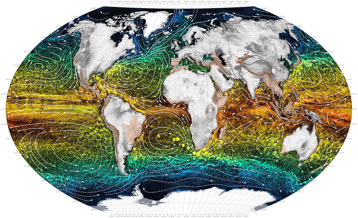
The general path that Europa is following goes along 20oN latitude.
The reason that it is not going in a straight line is because there are numerous seamounts and guyots (aka tablemounts) that we are having it navigate over on it’s way to the Mariana Trench.
Seamounts are basically underwater mountains that are at least 1,000m tall. They do not actually reach the ocean’s surface. Guyots are seamounts that did, at one time, rise above the ocean’s surface, but then eroded away, flattened out, and eventually sunk back down underwater.
Why does all of this matter?
Well, since Europa is basically a very small fish in a very big pond, we need to strategically look for these humpback whales. Even though most of the time the tops of these seamounts and guyots can be found many hundreds, if not thousands, of meters below the ocean’s surface, they are actually great producers of marine ecosystems. That makes us think that we might have a better shot at stumbling upon some humpbacks in those areas, as opposed to simply out in the middle of an even deeper ocean.
There has been some research to support the statement that humpbacks seem to frequent seamounts and guyots, though the exact reason why hasn’t been determined.
The leading theories are that the landmarks serve as resting and/or feeding areas, points for navigation, and even meeting grounds (source: PubMed Central®).
Maybe they’re sharing different versions of their song? At the end of the day, we don’t really know why…yet!
If you’d like to dive a little deeper into the science and evolution of a seamount, check out our blog post Mountains in the Deep Sea.
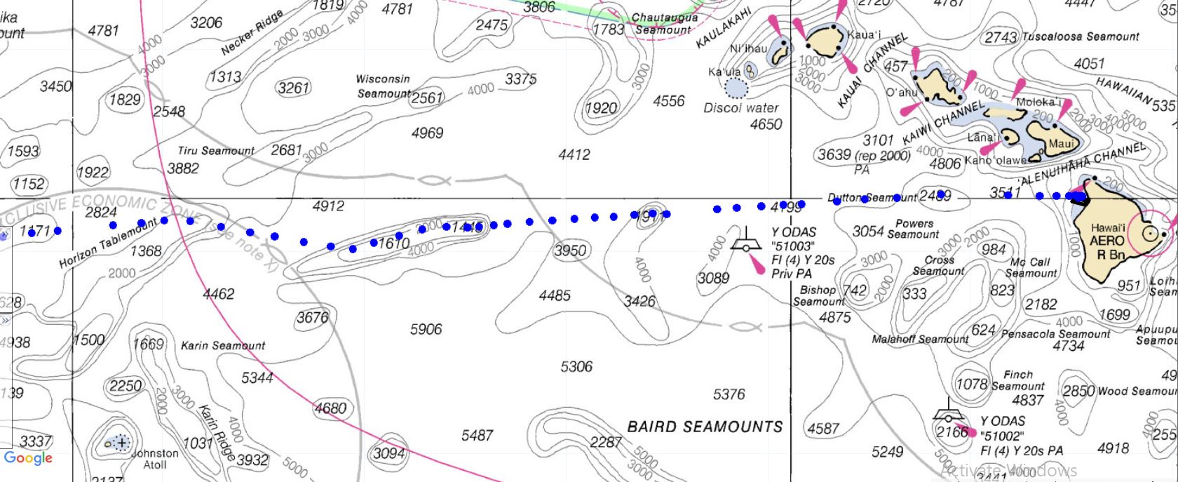
Figure 1: Europa’s path on a nautical chart. Europa is currently traveling from East to West, and navigating over many different seamounts and guyots. (Depths are in meters).

Figure 2: Zoomed in image to show more detailed depths of the Horizon Tablemount that Europa traveled over Jan 16-19, 2019.

Figure 3: Europa circling a particular seamount. We will have Europa do this from time to time to search a little more for humpbacks in areas we suspect them to be.
If you check out the HUMPACS page, you’ll notice that from January 16-19 Europa was cruising over the Horizon Tablemount. In another two or three weeks, Europa should be traveling around the HIG Guyot. This particular guyot is of note to us here in Hawaii because it was actually discovered about 37 years ago by the “Kana Keoki” research vessel, and named after the Hawaiian Institute of Geophysics (source: Marineregions.org).
So, for those of you that were wondering, and dare we say concerned, about Europa’s up and down path…worry no more! Europa is doing exactly what we want it to do, and we’re collecting lots of great data that we look forward to sharing later on.
Until then, keep checking in and watching Europa as it makes it’s way West across the Pacific Ocean.
Also, check out our live audio stream of the humpback whales that are swimming around Puako, HI right now!
Aloha!


